Iceland Cave Tower
The Iceland Cave Tower Competition was the fourth Bee Breeders event in an ongoing design series, set in the extraordinary landscape of Iceland. The competition site on Vogar farmland is located near lake Mývatn in northern Iceland, and the event was organized in partnership with the landowners, Landeigendur Voga ehf.
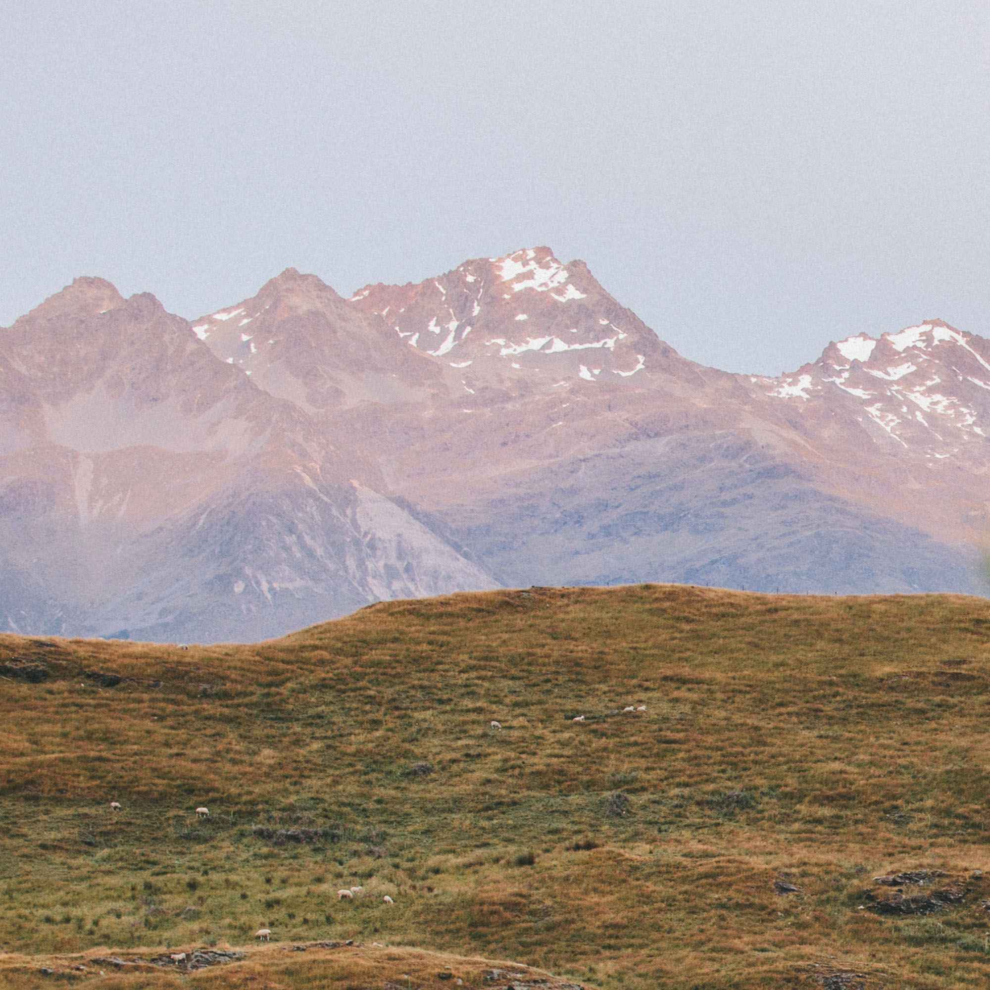
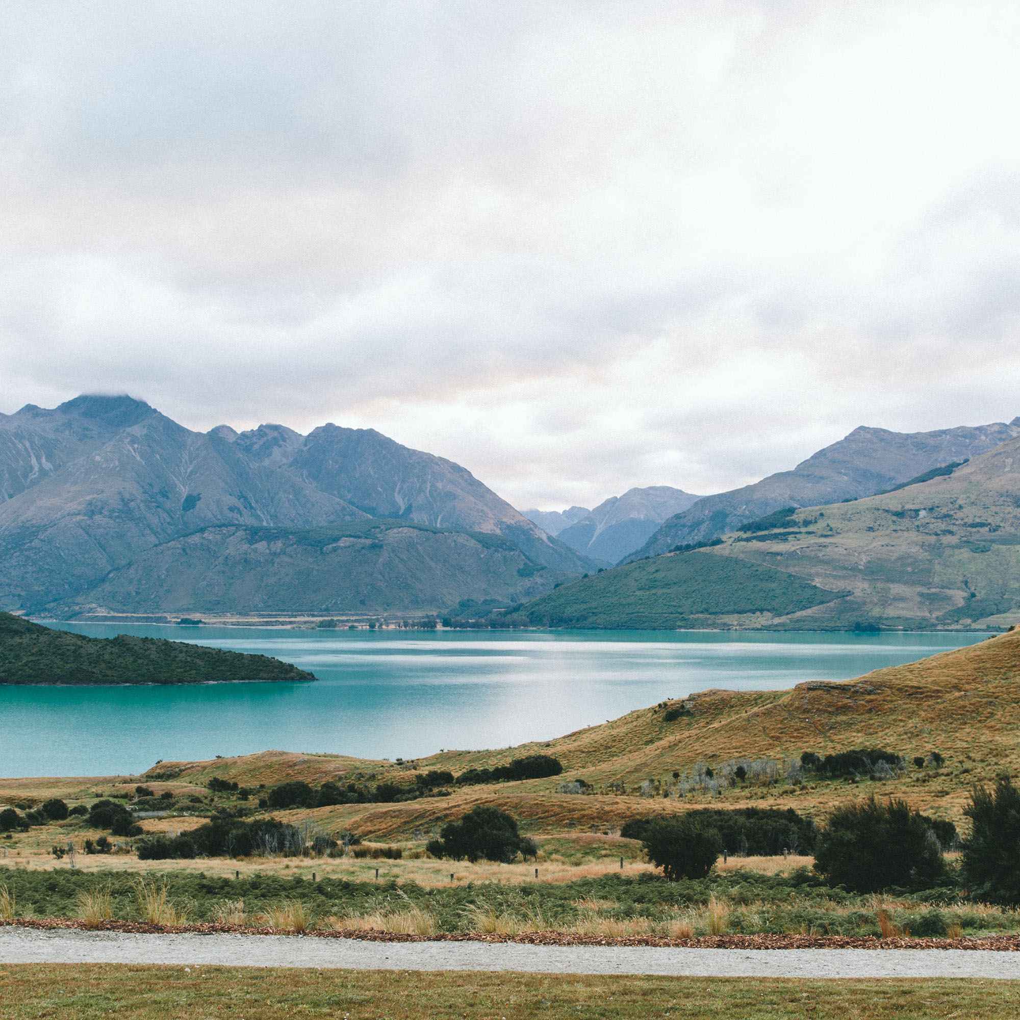
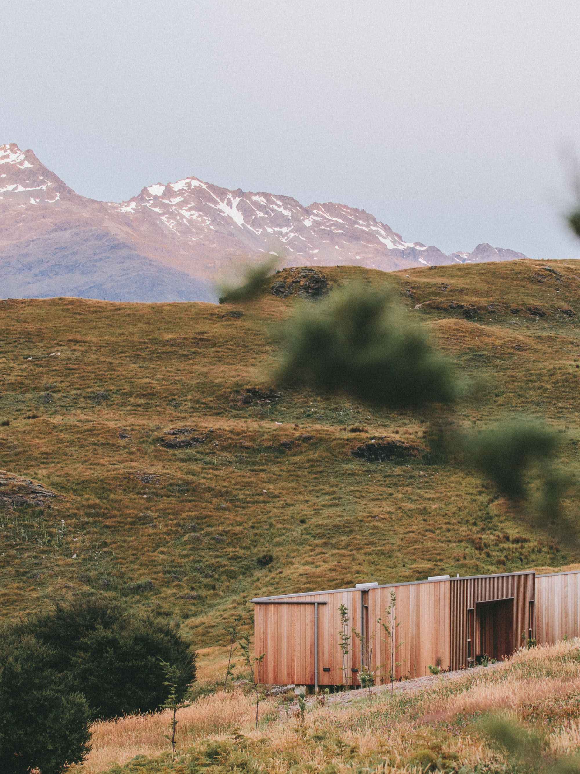
Participants were tasked with submitting proposals for an observation point accommodating a small visitor center on the farmland’s site overlooking Vogagjá – a spectacular ground fissure resulting from seismic activity. The fissure is especially significant as a marker of the boundary between the two tectonic plates of the European and North American continents.
The Vogagjá fissure also houses caves that have become popular bathing spots, with waters naturally heated by volcanic flows. The caves receive thousands of annual visitors, and while the remote site of Vogar farmland has become a popular destination, its surrounding lava fields have unfortunately sustained significant damage in recent years. In addition to an observation point to identify the site, the landowners sought a modular design solution for walking paths to better preserve the fragile natural surrounding
The project sought eco-friendly, site-specific solutions. Proposals were considered for their constructability, cost-effectiveness, resistance to extreme weather, environmental responsibility, energy-efficiency, and low maintenance. They were also evaluated for their strength of concept and their promise to become a meaningful destination.
Loop
Designed as an entry in the Iceland Cave Tower competition organized by Bee Breeders. Submitted December 2020.
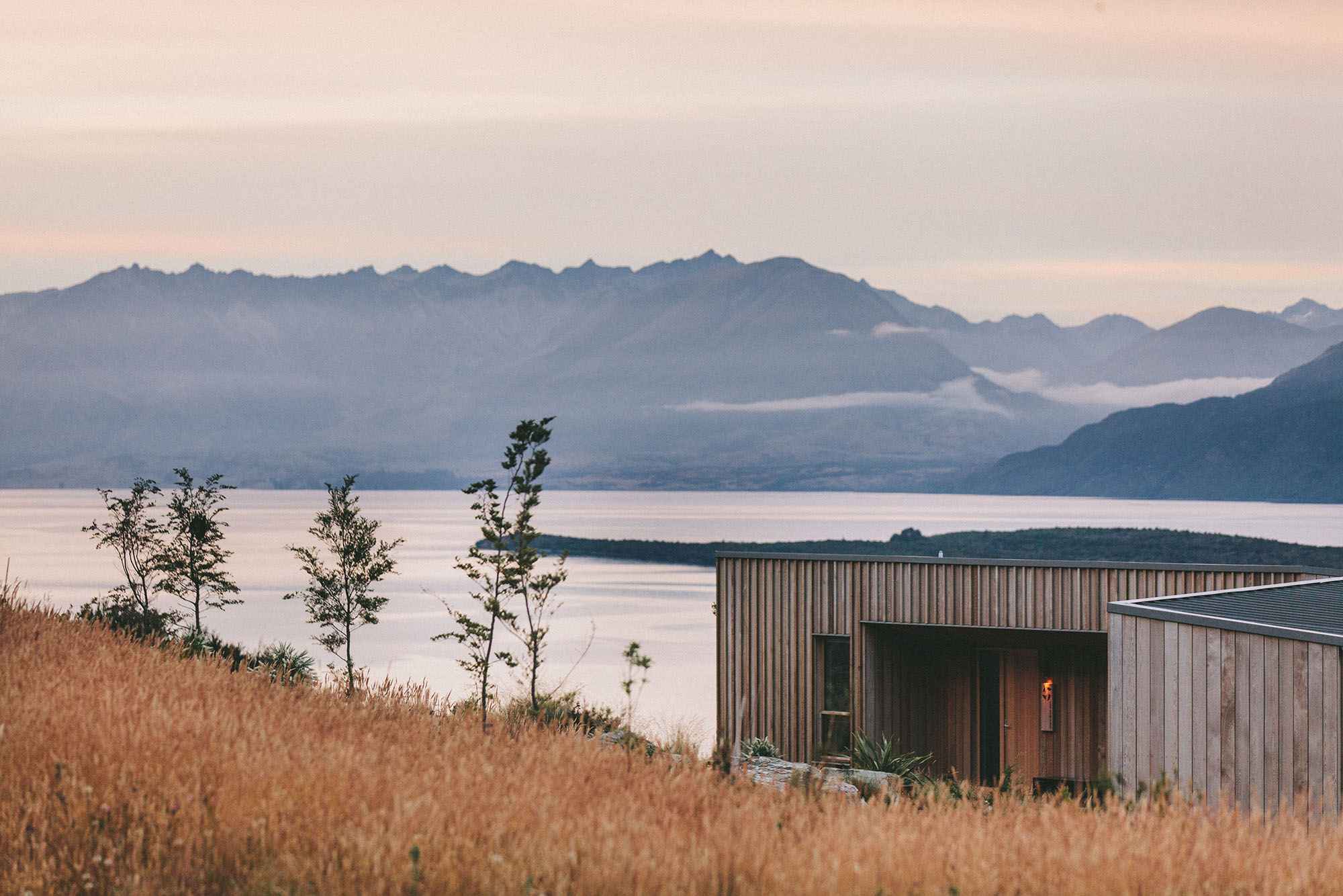
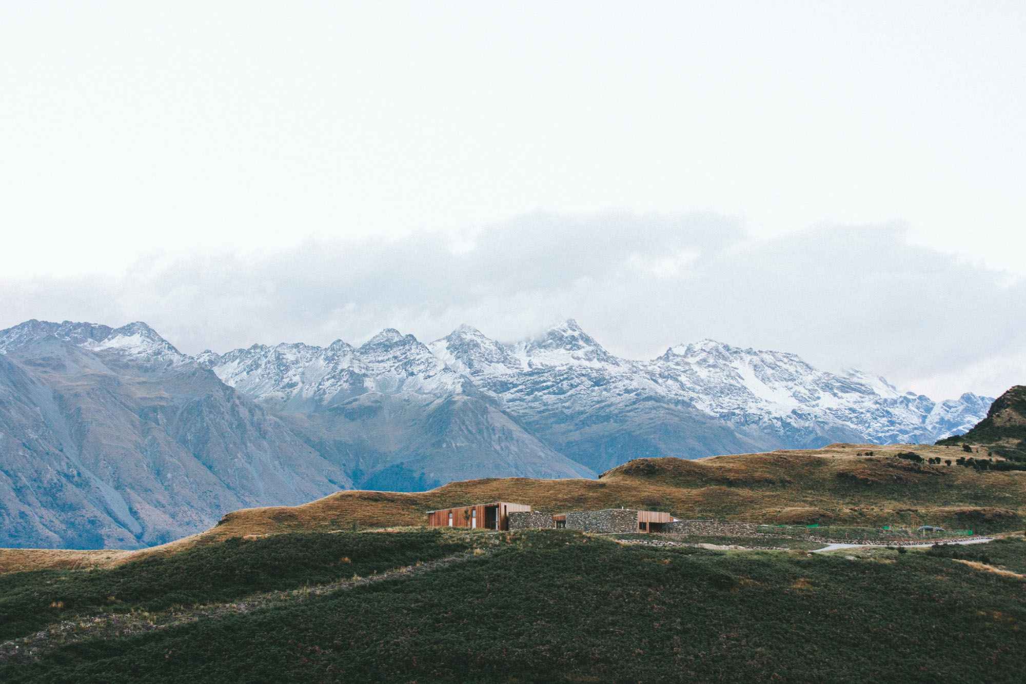
Situated along a fault line dividing the North American and Eurasian continents, Loop seeks to bridge the gap and create a continuous path that blurs this geological divide. The project is designed with accessibility in mind, utilizing ramps throughout the entire structure to allow for all visitors to have a nearly similar experience. Located directly between the Kvennagjá and Karlagjá caves of the larger Grjótagjá cave system, the elevated building platform divides these two points of interest and allows for an easy regulation of people for the purpose of maintaining the caves below capacity at a given time. This platform also serves as the center from which visitors can access the three primary attractions of the site: the two cave entrances and the long path which crosses the fault and culminates in a tall, spiral structure. This structure serves as both an eye-catching landmark from which visitors can enjoy a 360 degree view of the landscape.
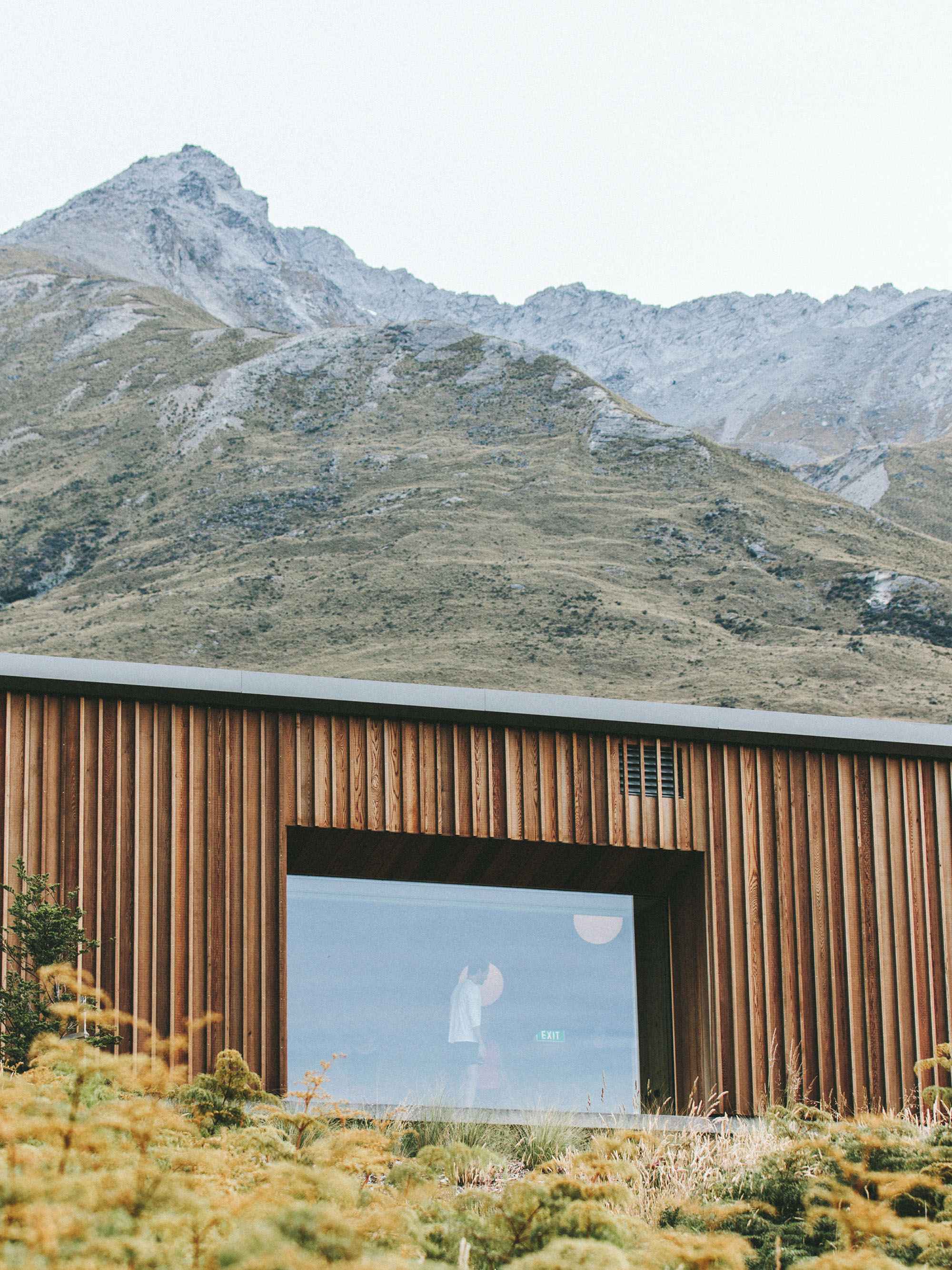
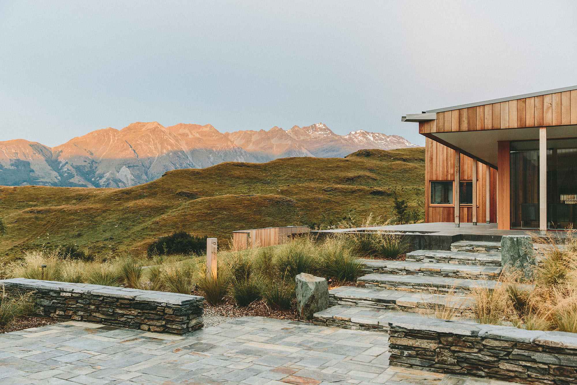
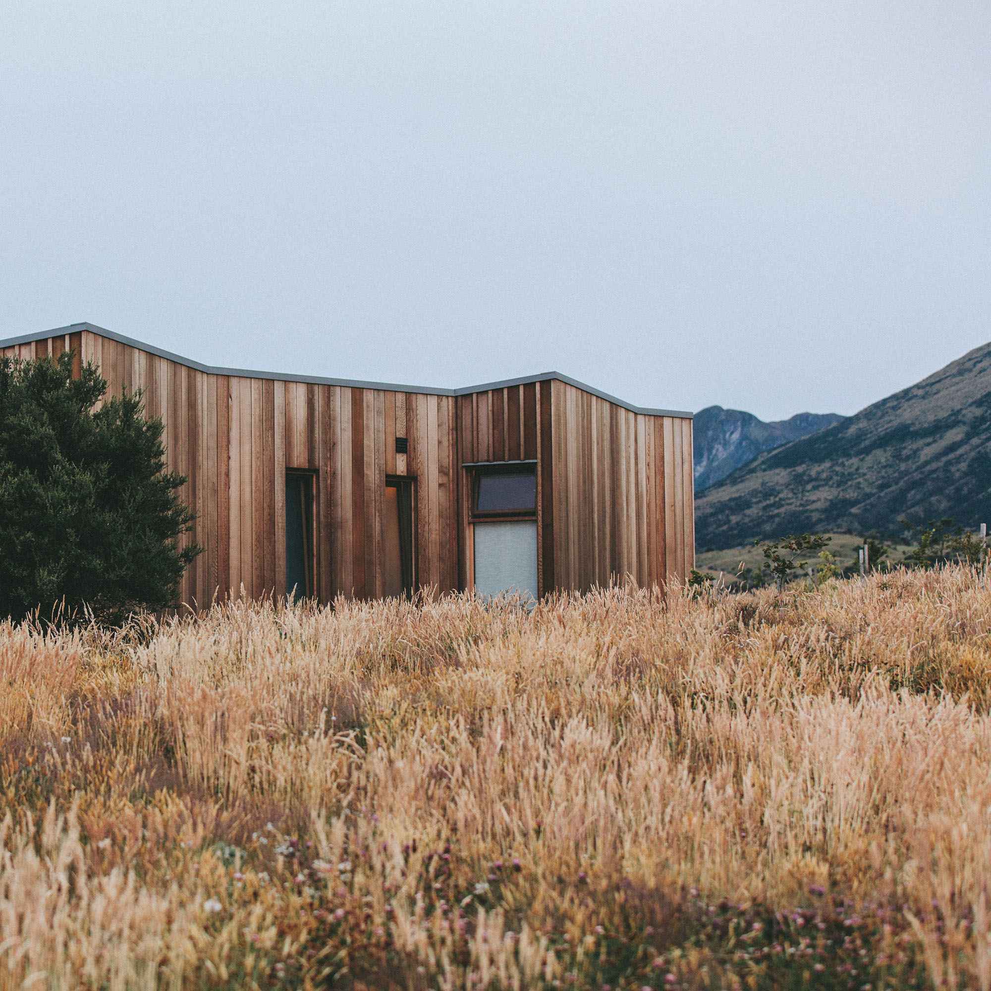
Visitors first engage with the project from the nearby road, seeing the towering spiral at the horizon as they draw near. From there, they can pull into the parking lot, relocated to sit just next to the road. When approaching the site, visitors are greeted with a ramped surface that invites them into the project and creates a fork in the path where they can choose to go up the structure or continue straight towards the Karlagjá cave entrance. Once on the elevated platform, they are presented with two buildings on opposing sides of the platform with a ramped pathway between them. The building to their left acts as a checkpoint they must pass through to reach the Kvennagjá cave entrance. The larger building to their right is a split-level visitor center and cafe. The upper portion houses the cafe whereas the lower portion serves as a waiting area and information center for Karlagjá. Both buildings would be constructed as concrete structures clad in corrugated metal. Their roofs are inclined towards the south to allow for greater light exposure upon the series of solar panels that serve as the primary energy source for the project.
As visitors follow the metal-clad walkway between the two buildings, they cross over the faultline and have a unique view into the geological marvel as they stand above it.As they cross the tectonic divide, they are presented with an opportunity to step off from the path and enjoy a vantage point towards the fault and the terrain on the North American side of the site. This vantage point also features a stepped seating area for a moment of quiet repose and relaxation. Further down the path, the railing on the western side opens up to allow visitors to step off the promenade and explore the land beyond the fault line. As the trail continues on, moving parallel to the geological formation that would be only a few meters away from the railing, travelers are presented with information panels that give the history of the Mývatn area and go in depth on the sights one encounters at various points along the way. Finally, visitors will arrive at the entrance to the spiral structure, held up by concrete piers, similar to the rest of the path. Here, they will have the opportunity to engage with the site in a uniquely powerful way. As they slowly move up the ramped spiral, visitors will get to observe the site at varying elevations and in all directions. At the pinnacle of this structure, they have an unobstructed view of the whole project and site, observing the fault line below, the Hverfjall tuff ring volcano to the south, and Lake Mývatn to the west. From here, visitors can continue down the spiral, exiting at a point further down the path. Once they have returned to the primary path, they continue north, eventually arriving at the ground path which loops back around and returns the visitor back to where they began.